Google Toys: Time Travel in Google Earth 5
Yesterday the beta version of Google Earth 5 was launched, packed with exciting features like Google Mars and Google Oceans. One feature I was particularly interested in, however, was the historical imagery option, which not only allows you to check out each image update since the start of Keyhole Earth/ Google Earth, but in some cases also imagery courtesy of NASA and the US Navy, reportedly back as far as 1940.
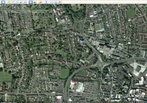
As a nod to my last post, here are the most recent image of the area of Yeovil where my parents live, and an older image from 2001.
The historical images for the US generally go back a little farther. Below, you can see the downtown development of my wife’s hometown, Clayton CA, from 1993 to 2009
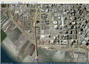
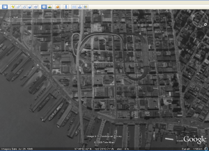
The oldest images I found during my brief exploration of Google Earth this morning were in San Francisco, where images for parts of the city are available from 1946. Here is the area where the Bay Bridge meets the city, looking roughly south east. I left the street names in the modern image to help with orientation.


